Parse map coordinates from metadata

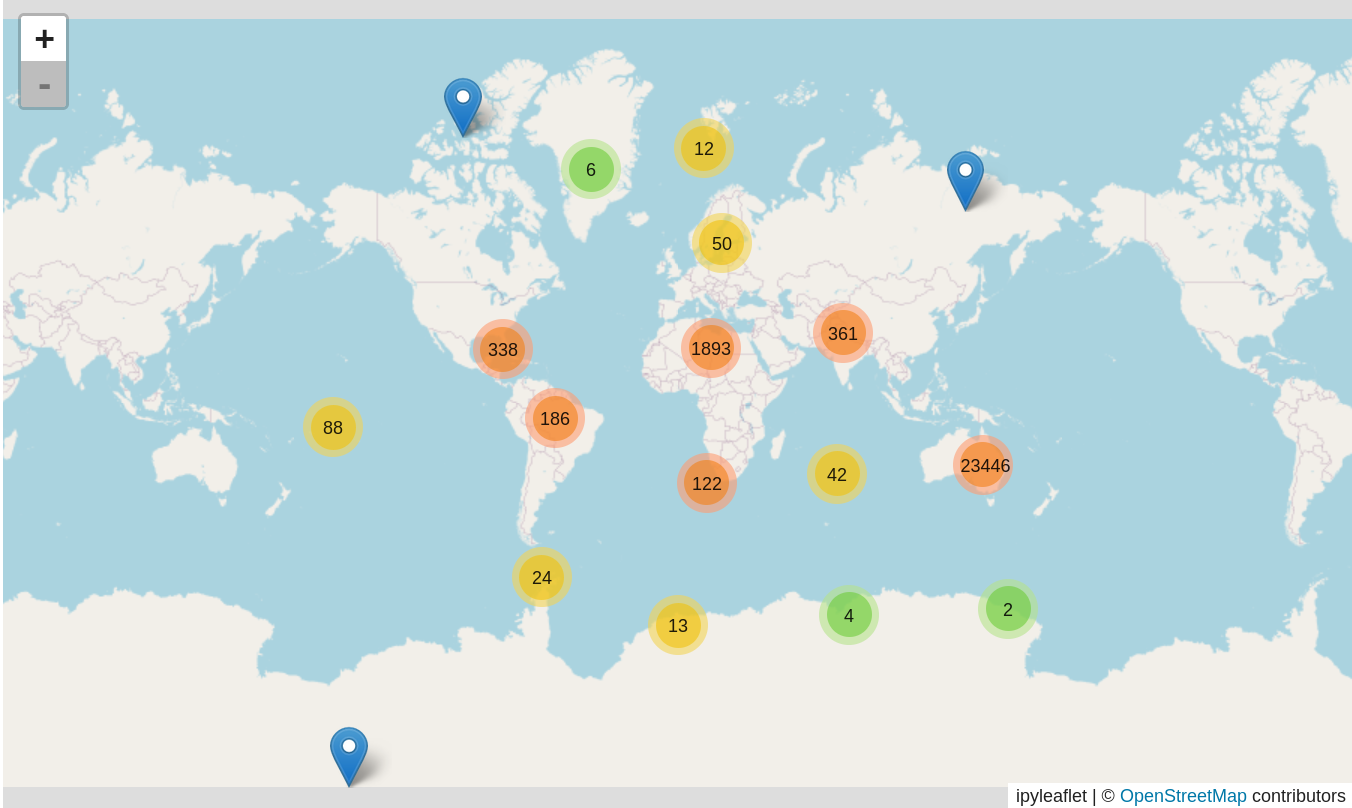
The harvest of digitised maps metadata includes a coordinates column that provides a string representation of either a point or a bounding box. This notebook attempts to parse the coordinate string and convert the values to decimals. It then uses the decimal values to explore the geographical context of Trove's digitised map collection.
Preview
Using this notebook
To run this notebook using the ARDC Binder service you'll need to log in using an account from an Australian university or research organisation. If you don't have an account, try MyBinder instead.
The MyBinder service doesn't require any authentication, but it can be slow to start and will sometimes fail when busy. If you have a login at an Australian university, you'll probably get better results with ARDC Binder.
Binder is great for experimentation and quick tasks, but for some projects you might need a dedicated, persistent environment in which to work. There's information on other options in the run these notebooks section.
Related datasets
Additional documentation
Getting help
Cite as
Sherratt, Tim. (2024). GLAM-Workbench/trove-maps (version v2.0.0). Zenodo. https://doi.org/10.5281/zenodo.11526507
![]()